Features And Benifits
- Scripting functionality
- Direct import of Leica HDS and Leica Pegasus project data, including mobile trajectories and imagery
- Direct import of Dot Product *.dp files
- Batch import and auto image-to-scan alignment for iSTAR, Spheron, and Nodal Ninja external camera workflows
- Advanced image-to-scan texture mapping options with complete HDR Tone Map Editor
- Multiple, fast, convenient visualisation modes.
- Fly Mode for smooth, 3D fly-through navigation, including 3D mouse support
- Full support of publishing and reading of LGS (Leica Geosystems’ universal project files). LGS files are fully supported by all Leica Geosystems laser scanning / HDS software products. All your digital reality data, anywhere.
- Support for BLK360 IR imagery, including per-point temperature picking
- Support for Cyclone FIELD 360 pre-registered projects
- Support for RTC360 Visual Inertial System (VIS) links
- More efficient site planning and scheduling
- More efficient hand-offs between steps in the construction stage
- Real-time cost visualization
- Simplified cost analysis
- Reduced energy consumption in the long run
- Better operational management of the building or structure after handover
- Building information modeling (BIM) is an intelligent software modeling process that engineers, contractors, and architects can use to collaborate on a building’s design, construction, and operation. It’s more than just a model. It’s a process of collecting and managing data throughout a building’s entire life cycle.
- BIM encompasses not only geometry and spatial relationships, but it also documents building features, such as specific information about the type of materials used, the quantity used, and how those characteristics impact the building as a whole. BIM can be thought of as a database of information ranging from project materials and cost – to the 3D model after construction – to operation of the facility. This information can be used to actively manage a project every step of the way.
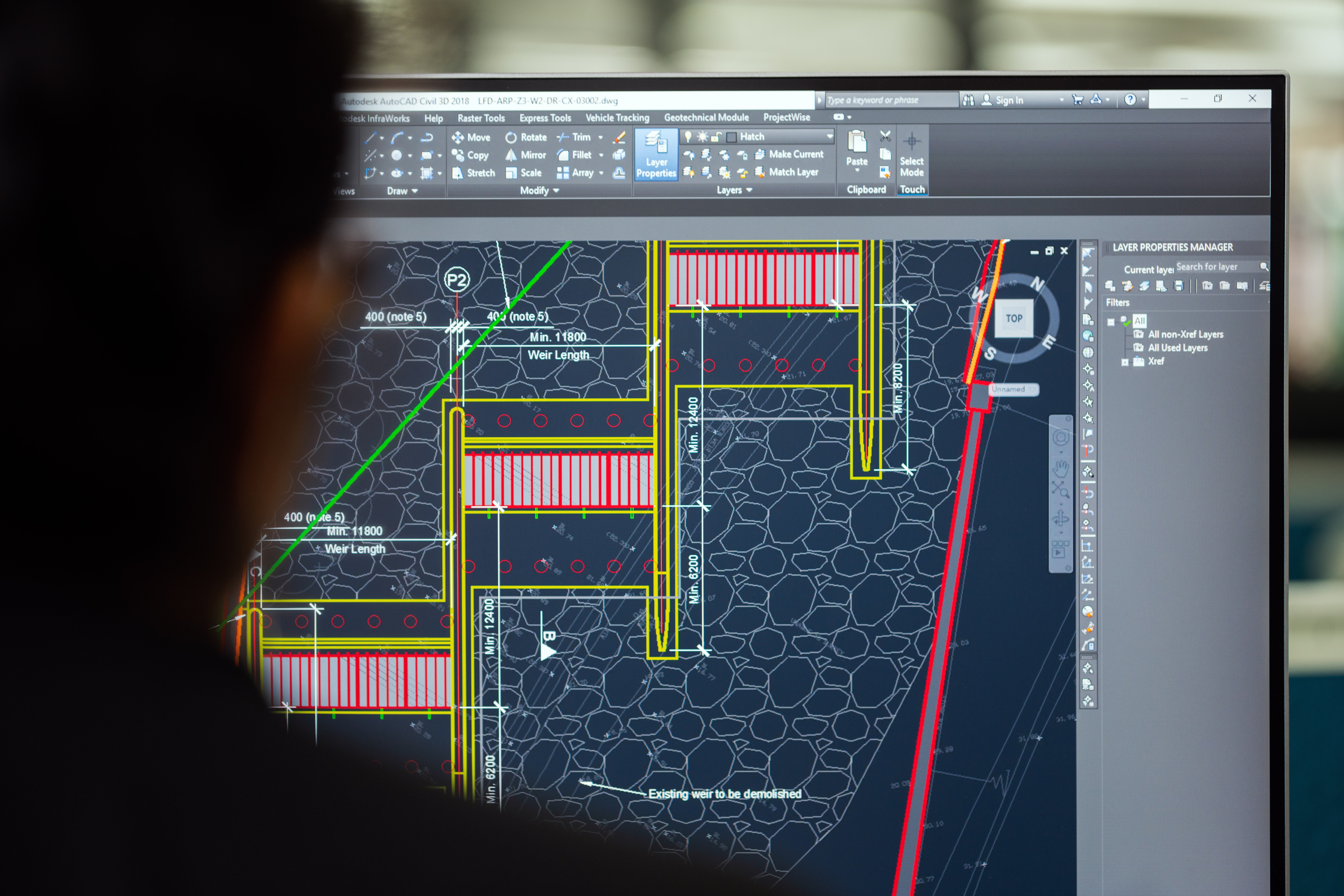
Scan to BIM is the process of digitally capturing a site with a 3D laser scanner and using the data to create a BIM model.
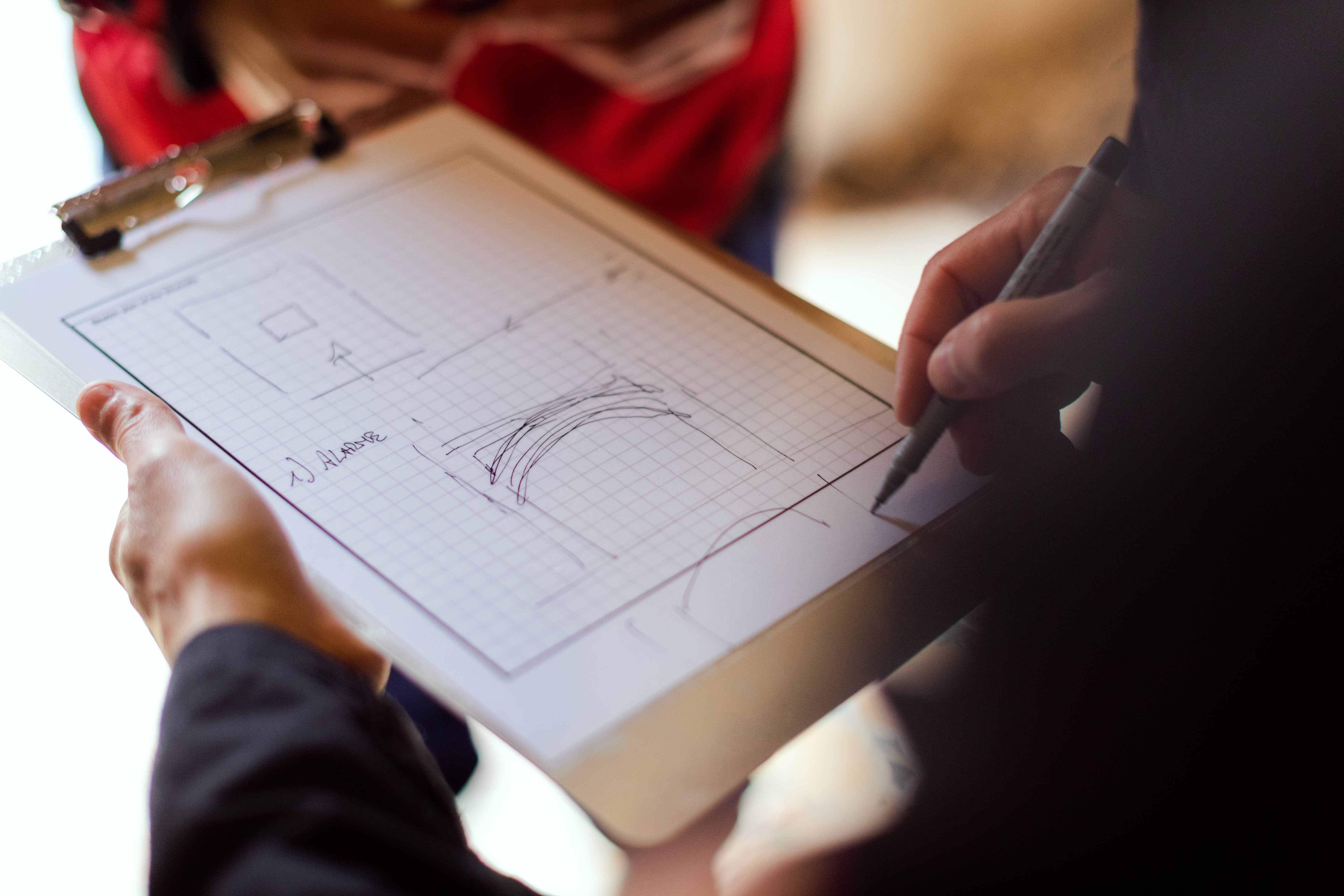
- Collecting data with a 3D laser scanner;
- Bringing this data back to the design office;
- Using it in the BIM process.