
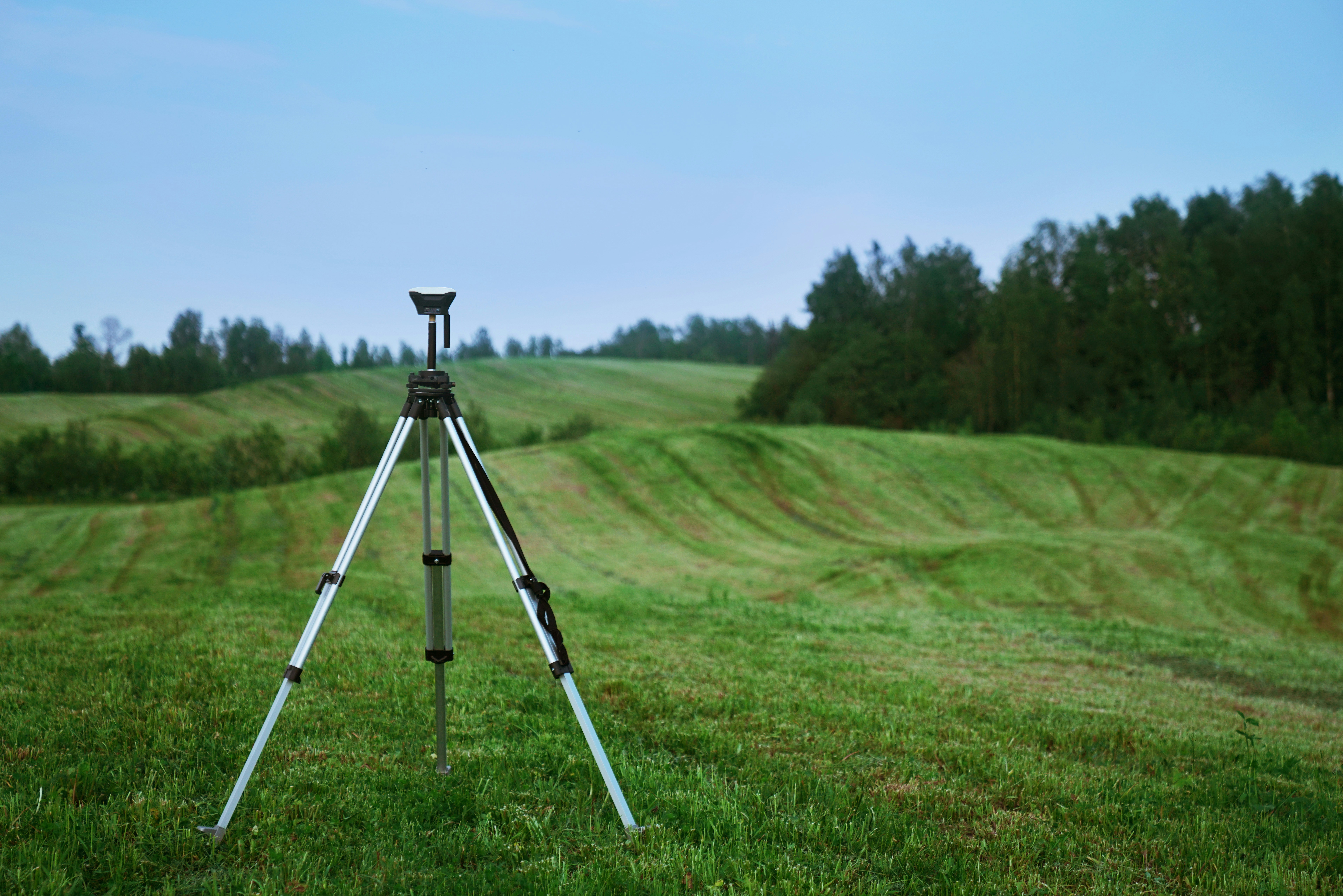
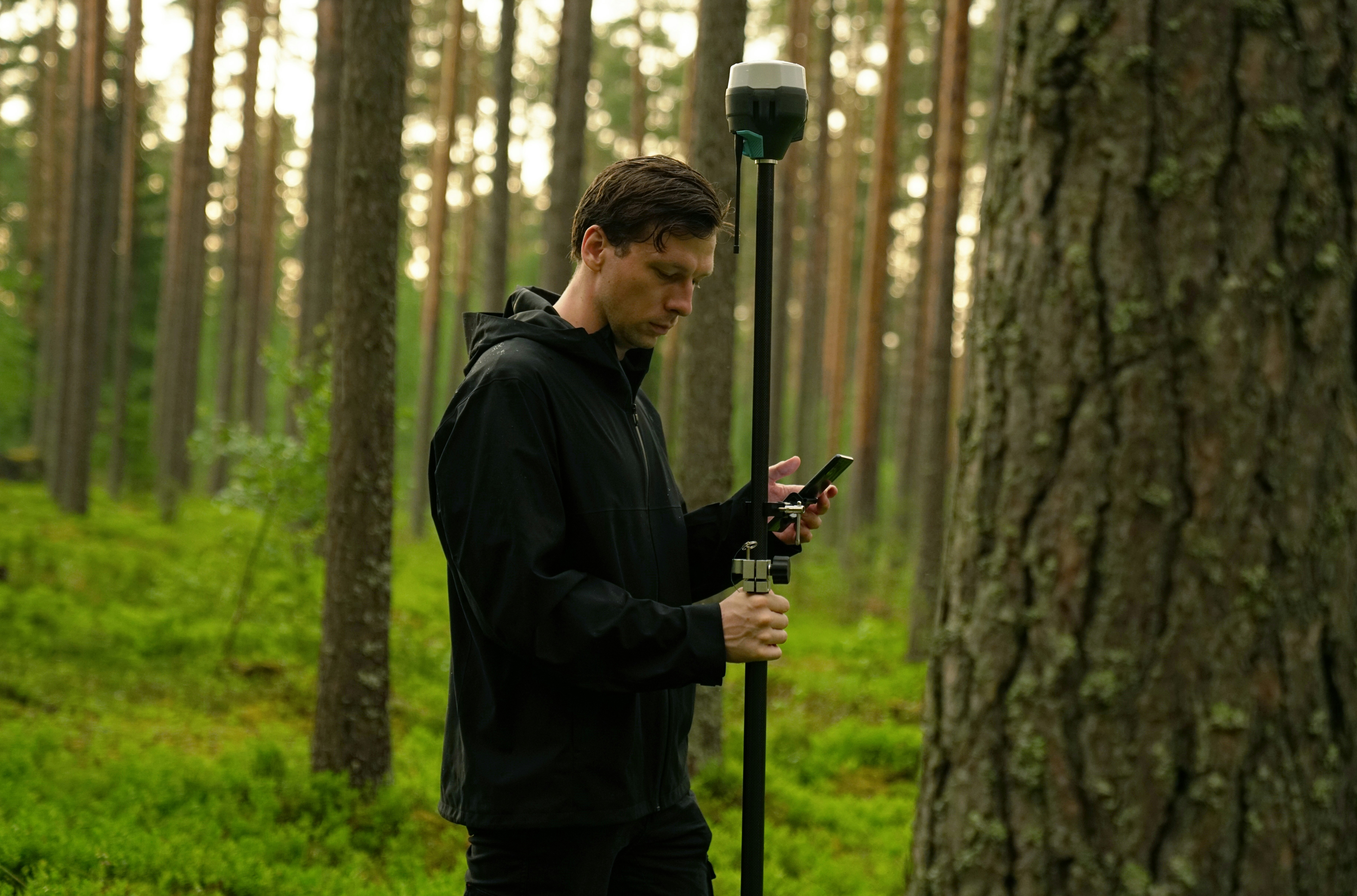
LiDAR uses basic physics and geometry to uncover remarkable insights. To do so, it uses the power of a laser directed down toward the earth’s surface and fired in rapid succession—in most cases, at a rate of many thousand pulses per second. The amount of time it takes for the light to return to the source indicates its exact distance. LiDAR works like echolocation in bats or submarines, but it’s powered by the incredible speed of light (about 186,000 miles per second, if you’re keeping score at home).Data generated by LiDAR sensors is collected and pinned to GPS metadata to create a detailed map of the landscape. To produce an accurate picture, data from remote sensing tech is then layered to cross-reference ground points and flag errors and inaccuracies. A LiDAR instrument typically uses three component pieces to collect data: A laser produces light that is used as the measurement medium. Reflected light from the ground is collected by the photodetector sensor and optics.